Geospatial Engineer Resume Example
Score my resume
Market Insights
Geospatial Engineer
Salary Range
US market data · Source: Adzuna · Updated Mar 2026
How useful was this template?
How useful was this template?
Score my resume
Editorial Notes
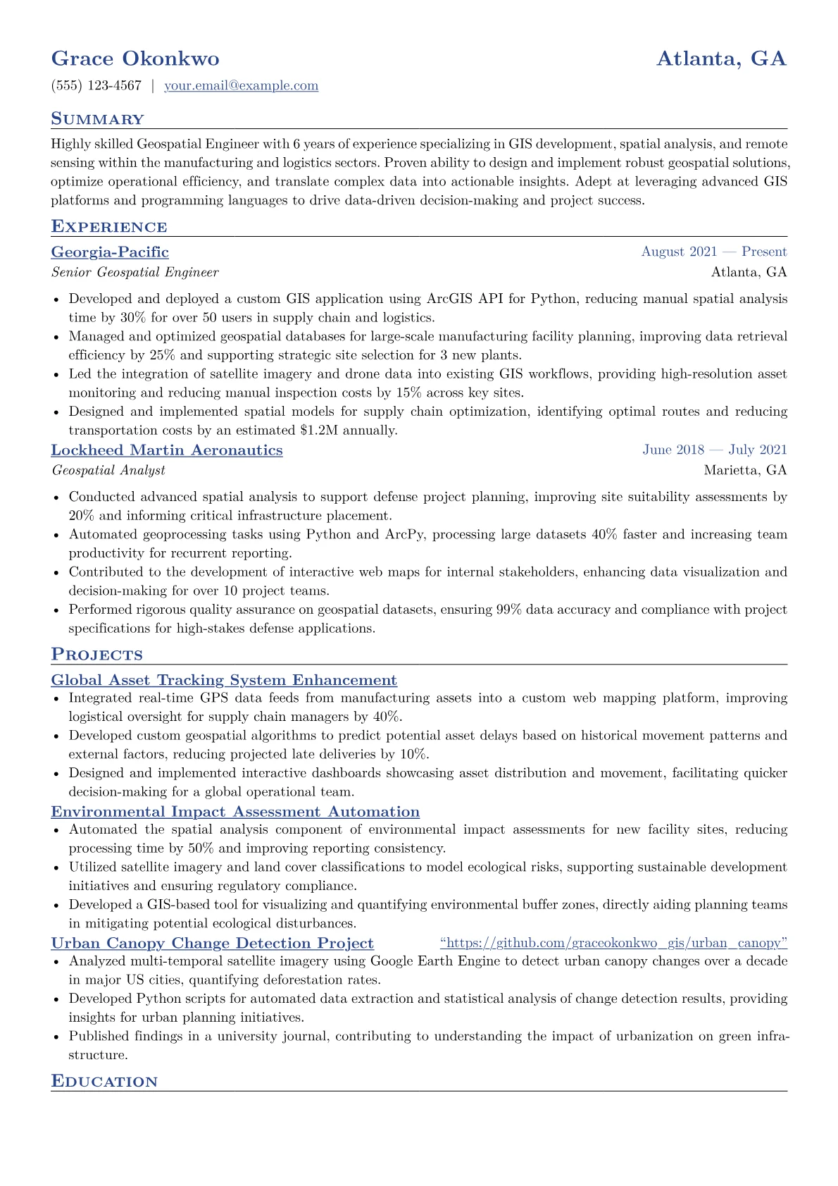
For a Geospatial Engineer in the Manufacturing sector, a compelling resume articulates how spatial intelligence drives operational efficiency and strategic advantage. Hiring managers in this domain seek candidates who can integrate GIS with industrial processes, demonstrating impact on supply chain visibility, site selection, asset management, or quality control. Key achievements should quantify improvements like reducing logistics costs by optimizing routes, minimizing lead times through supply chain mapping, or improving facility layout for production flow. Crucial terminology includes geodatabases, LiDAR data processing, spatial ETL, predictive modeling, and certifications such as GISP or specific Esri suite expertise.
The example CV effectively showcases these critical elements. Its structured achievements section clearly quantifies impact, for instance, detailing percentage reductions in operational costs or improvements in inventory accuracy achieved through spatial analysis. Skills are thoughtfully grouped into categories like "GIS Software," "Programming & Scripting," and "Data Analysis," providing an immediate overview of technical proficiency relevant to manufacturing environments. Crucial certifications and specific tools, such as ArcGIS Enterprise, FME, or Python with ArcPy, are prominently highlighted, assuring hiring managers of the candidate's practical capabilities.
This template was built with JobSprout and can be remixed to create your own tailored Geospatial Engineer resume.
Geospatial Engineer salary by country
| Country | 25th percentile | Median | 75th percentile |
|---|---|---|---|
| US | $89,074 | $116,400 | $141,923 |
| UK | £46,667 | £53,333 | £60,000 |
| Canada | C$54,015 | C$76,330 | C$106,695 |
| Australia | A$111,100 | A$122,200 | A$133,300 |
| Germany | €41,304 | €59,718 | €72,819 |
| France | €26,998 | €34,650 | €42,911 |
| Netherlands | €40,158 | €49,152 | €62,025 |
| Italy | €17,965 | €23,981 | €29,327 |
| Austria | €34,500 | €56,250 | €71,293 |
| New Zealand | NZ$78,854 | NZ$101,126 | NZ$125,255 |
| India | ₹12,500 | ₹25,000 | ₹37,500 |
| Poland | zł159,882 | zł198,275 | zł221,495 |
Annual salaries in local currency, aggregated from live job postings via Adzuna. Figures refresh continuously and reflect advertised pay, not negotiated offers.
Skills and keywords for a Geospatial Engineer resume
Recruiters and applicant tracking systems scan geospatial engineer resumes for these skills and keywords. Include the ones that match your experience and mirror the wording in the job description. Check your resume against them with the free ATS checker.
Hard skills
Tools & software
Certifications
Soft skills
Market Insights
Geospatial Engineer
Salary Range
US market data · Source: Adzuna · Updated Mar 2026
Frequently Asked Questions
What's the best resume structure for a mid-level Geospatial Engineer (3-7 years experience)?
What key skills and qualifications should I highlight as a Geospatial Engineer?
How do I write strong achievement bullets and a professional summary for a Geospatial Engineer role?
Which optional sections matter most for a Geospatial Engineer's resume?
How can I tailor my Geospatial Engineer resume for a specific job posting?
![How to Write a CV for Manufacturing Applications [2026 Guide]](/thumbnails/cv-for-manufacturing-applications.webp)
Related Templates
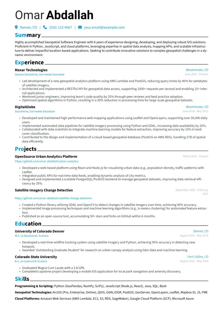
Geospatial Software Engineer Resume Example
Example by JobSprout![]()
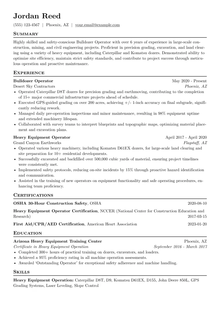
Bulldozer Operator Resume Example
Example by JobSprout![]()
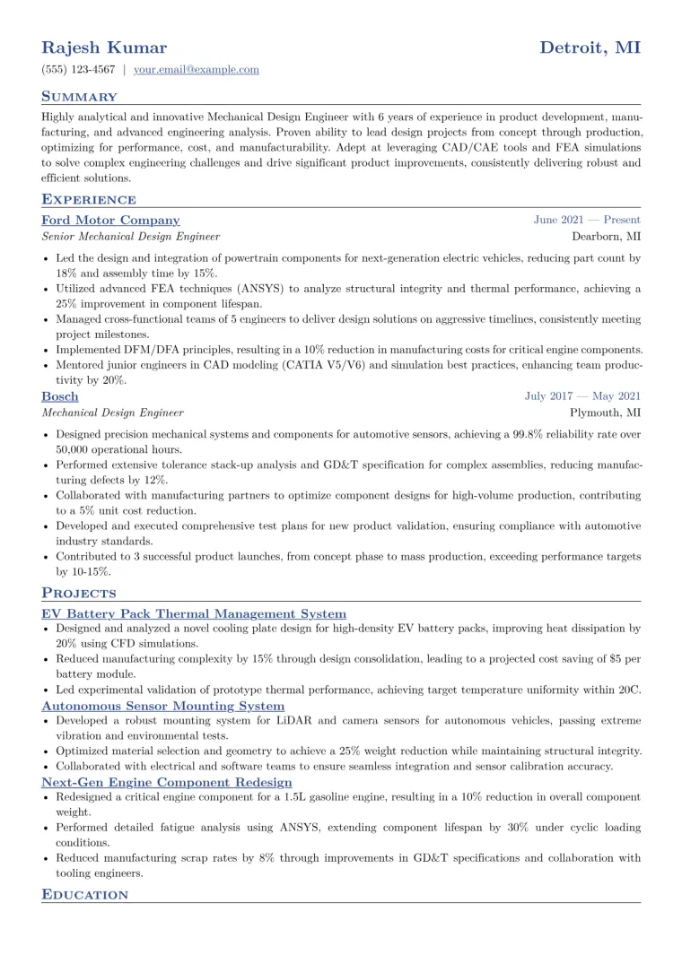
Mechanical Design Engineer Resume Example
Example by JobSprout![]()
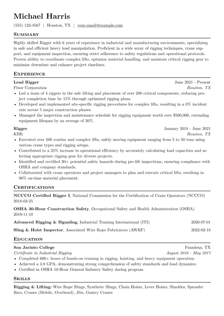
Rigger Resume Example
Example by JobSprout![]()
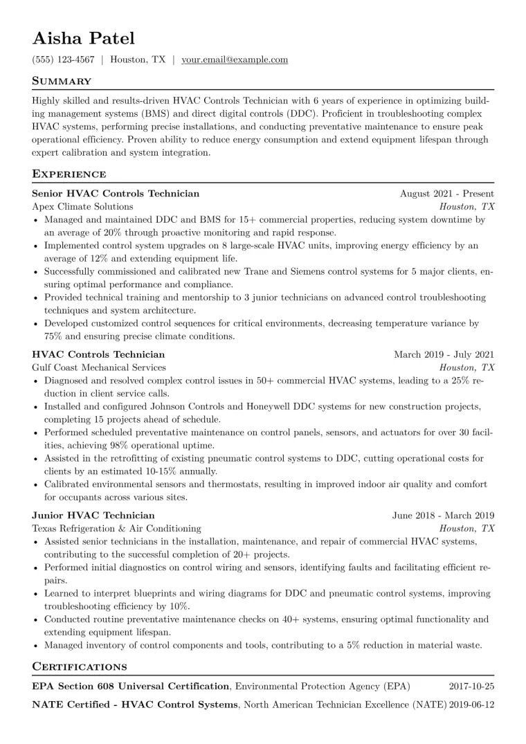
HVAC Controls Technician Resume Example
Example by JobSprout![]()
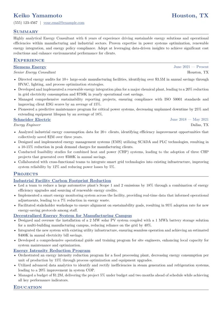
Energy Consultant Resume Example
Example by JobSprout![]()
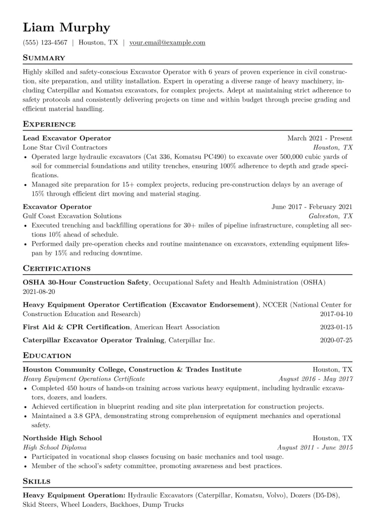
Excavator Operator Resume Example
Example by JobSprout![]()
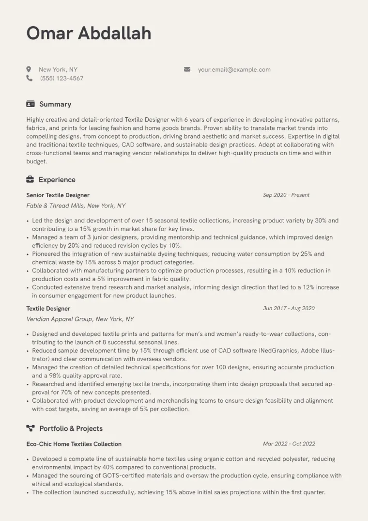
Textile Designer Resume Example
Example by JobSprout![]()